NASA, in partnership with AeroVironment and Aerostar, recently demonstrated a first-of-its-kind air traffic management concept that could pave the way for aircraft to safely operate at higher altitudes. This work seeks to open the door for increased internet coverage, improved disaster response, expanded scientific missions, and even supersonic flight. The concept is referred to as an Upper-Class E traffic management, or ETM.
There is currently no traffic management system or set of regulations in place for aircraft operating 60,000 feet and above. There hasn’t been a need for a robust traffic management system in this airspace until recently. That’s because commercial aircraft couldn’t function at such high altitudes due to engine constraints.
However, recent advancements in aircraft design, power, and propulsion systems are making it possible for high altitude long endurance vehicles — such as balloons, airships, and solar aircraft — to coast miles above our heads, providing radio relay for disaster response, collecting atmospheric data, and more.
But before these aircraft can regularly take to the skies, operators must find a way to manage their operations without overburdening air traffic infrastructure and personnel.
“We are working to safely expand high-altitude missions far beyond what is currently possible,” said Kenneth Freeman, a subproject manager for this effort at NASA’s Ames Research Center in California’s Silicon Valley. “With routine, remotely piloted high-altitude operations, we have the opportunity to improve our understanding of the planet through more detailed tracking of climate change, provide internet coverage in underserved areas, advance supersonic flight research, and more.”
Current high-altitude traffic management is processed manually and on a case-by-case basis. Operators must contact air traffic control to gain access to a portion of the Class E airspace. During these operations, no other aircraft can enter this high-altitude airspace. This method will not accommodate the growing demand for high-altitude missions, according to NASA researchers.
To address this challenge, NASA and its partners have developed an ETM traffic management system that allows aircraft to autonomously share location and flight plans, enabling aircraft to stay safely separated.
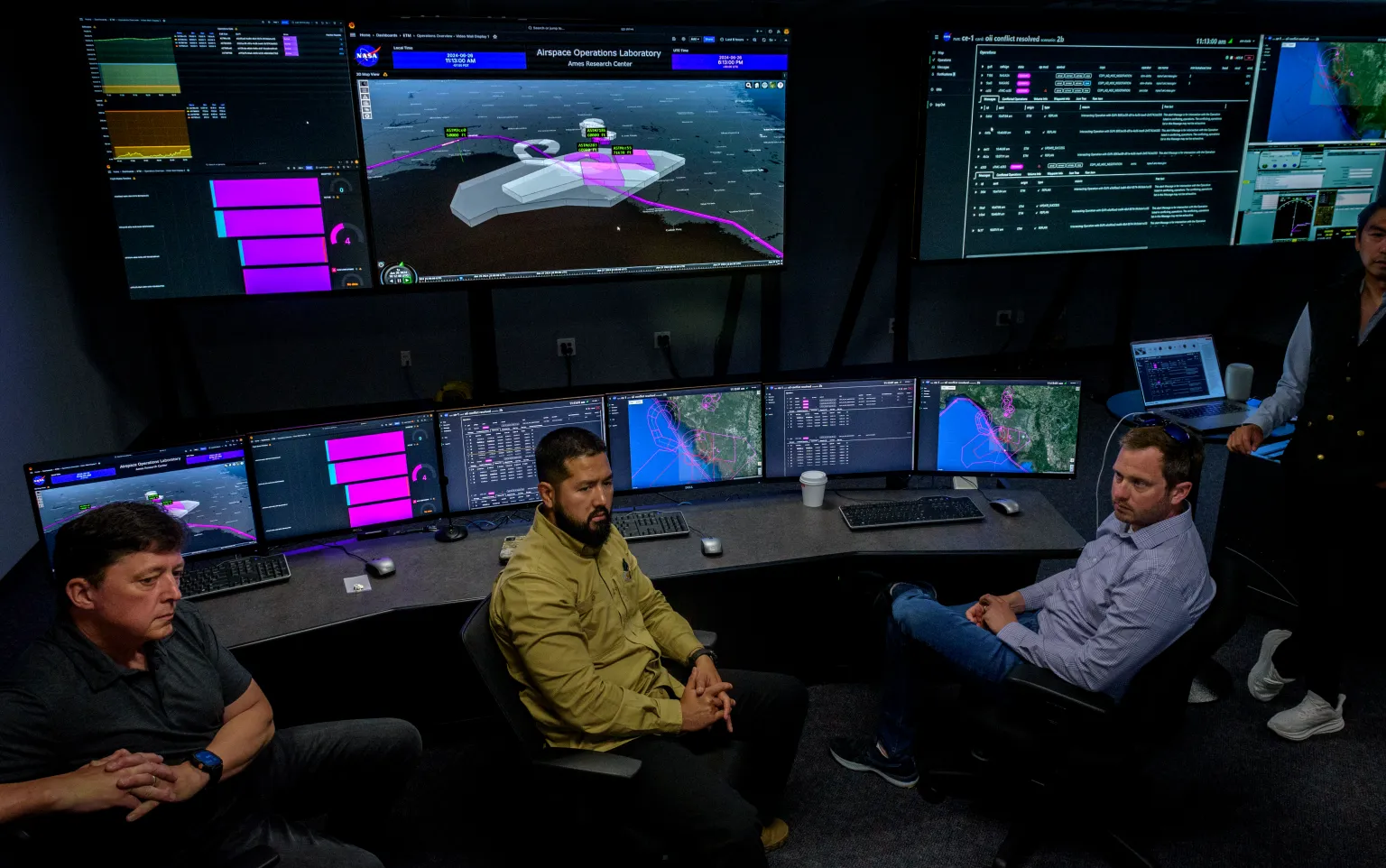
During the recent traffic management simulation in the Airspace Operations Laboratory at Ames, data from multiple air vehicles was displayed across dozens of traffic control monitors and shared with partner computers off site. This included aircraft location, health, flight plans and more. Researchers studied interactions between a slow fixed-wing vehicle from AeroVironment and a high-altitude balloon from Aerostar operating at stratospheric heights. Each aircraft, connected to the ETM traffic management system for high altitude, shared location and flight plans with surrounding aircraft.
This digital information sharing allowed Aerostar and AeroVironment high-altitude vehicle operators to coordinate and deconflict with each other in the same simulated airspace, without having to gain approval from air traffic control. Because of this, aircraft operators were able to achieve their objectives, including wireless communication relay.
This simulation represents the first time a traffic management system was able to safely manage a diverse set of high-altitude aircraft operations in the same simulated airspace. Next, NASA researchers will work with partners to further validate this system through a variety of real flight tests with high-altitude aircraft in a shared airspace.
The Upper-Class E traffic management concept was developed in coordination with the Federal Aviation Administration and high-altitude platform industry partners, under NASA’s National Airspace System Exploratory Concepts and Technologies subproject led out of Ames.
Related
Discover more from sUAS News
Subscribe to get the latest posts sent to your email.

