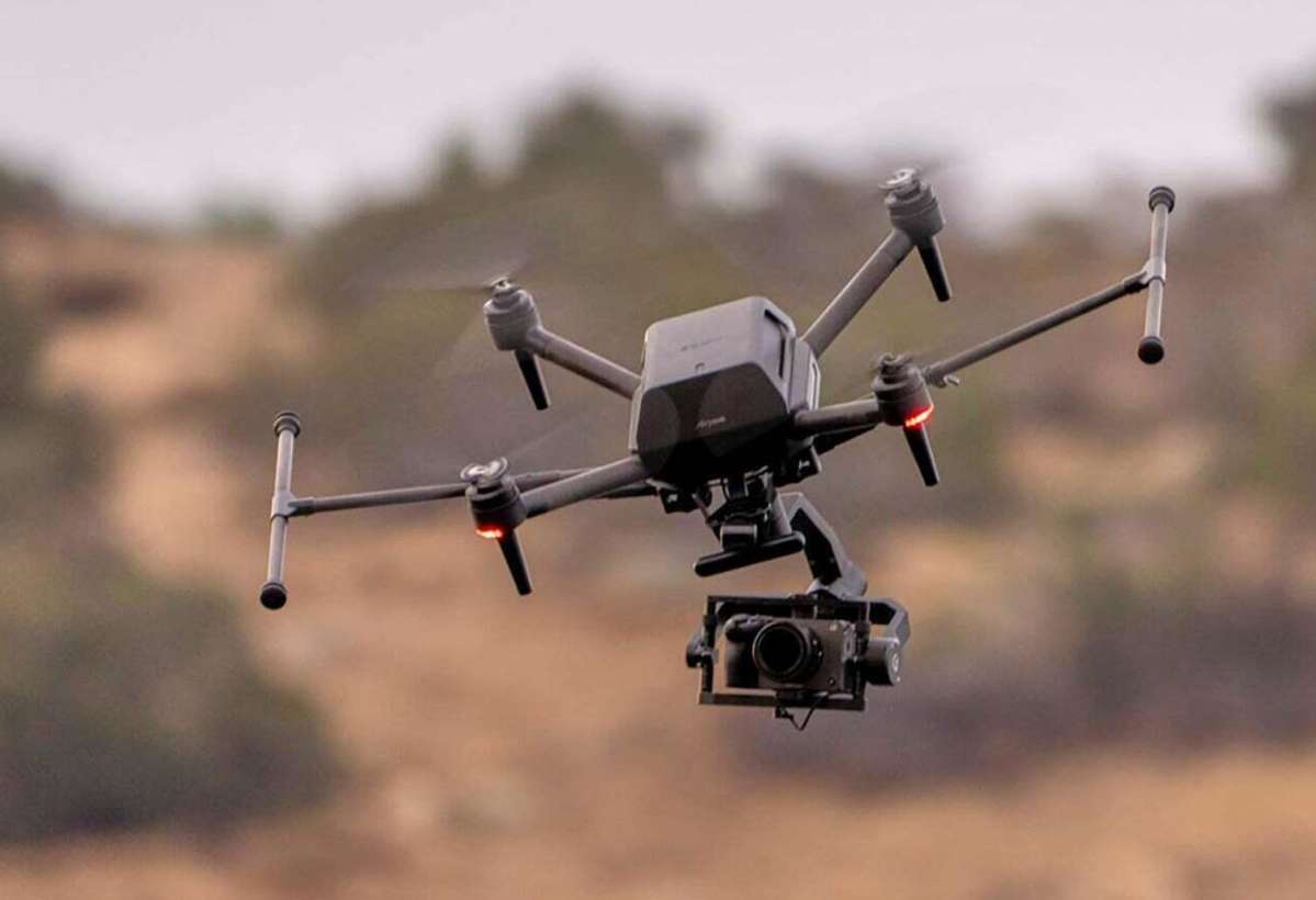
This information is for the following models:
About this download
Benefits and Improvements
Improves usability during flights using the RTK:
Gives you the ability to add geotags to images taken in real time, with these geotagged images automatically saved to the SD card in the RTK kit Interface unit (RTK-INU1)
Supports the function to offset a geotag coordinate on the optical axis
Geotagged images will be saved into individual folders, each corresponding to a specific flight
A mission name is now included in the folder name
Supports the ILCE-9M3 mirrorless interchangeable lens camera equipped with a full-frame image sensor and global shutter, and can be used in combination with the gimbal (GBL-T3)
Improves aircraft stability
Previous Benefits and Improvements
View previous benefits and improvements
File Info
Version for Aircraft (ARS-S1): Ver. 2.2.0
Version for Remote Controller (RCR-VH1): Ver. 2.2.0
Version for RTK kit Interface unit (RTK-INU1): Ver. 1.0.1
Version for Airpeak Flight: Ver. 2.3.0
File Size for Aircraft (ARS-S1): 763 MB (800 353 536 bytes)
File Size for Remote Controller (RCR-VH1): 394 MB (413 602 559 bytes)
File Size for RTK kit Interface unit (RTK-INU1): 240 KB (246 220 bytes)
Release Date: 05-20-2024
Important Notice
Do not turn off the aircraft during the update.
The update takes about 30 minutes.
The download time will be determined by the network environment.
Download & Install
To update the system software, you must download and install the dedicated app Airpeak Flight on your mobile device. For details, please take a look at the Airpeak Flight app webpage.
To update the system software, connect the mobile device to the internet and perform the operations with the Aircraft and Remote Controller connected. Make sure the latest version of Airpeak Flight is used. For details, refer to the Help Guide: Updating the system software.
If you have the RTK kit, before starting the update, connect the interface and antenna units to the aircraft.
Notes:

